YOUR AERIAL PHOTO, AN INTERACTIVE GUIDE
Make every arrival unmistakable.
Drop in your drone image, drag pins to the actual building entrances and approved staging points, then export the positions for the final portal. All photo previews stay in this browser.
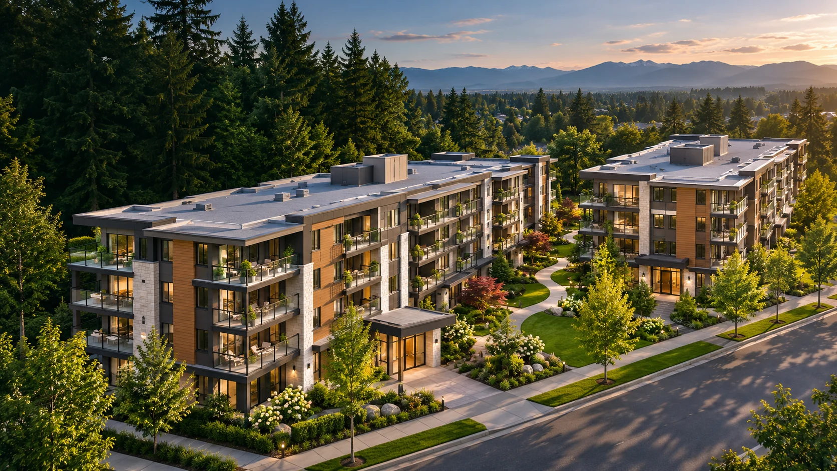
Editing preview only · Do not use for directions until verified by developer and building staff
How it works: Choose a marker in the list, drag it onto your drone photo, and edit its label. Add a marker for the moving truck area, parkade ramp or elevator lobby. Export the layout as JSON; the developer should verify all placements before publication.